Using StoryMaps to Celebrate A Black Church’s 196th Anniversary
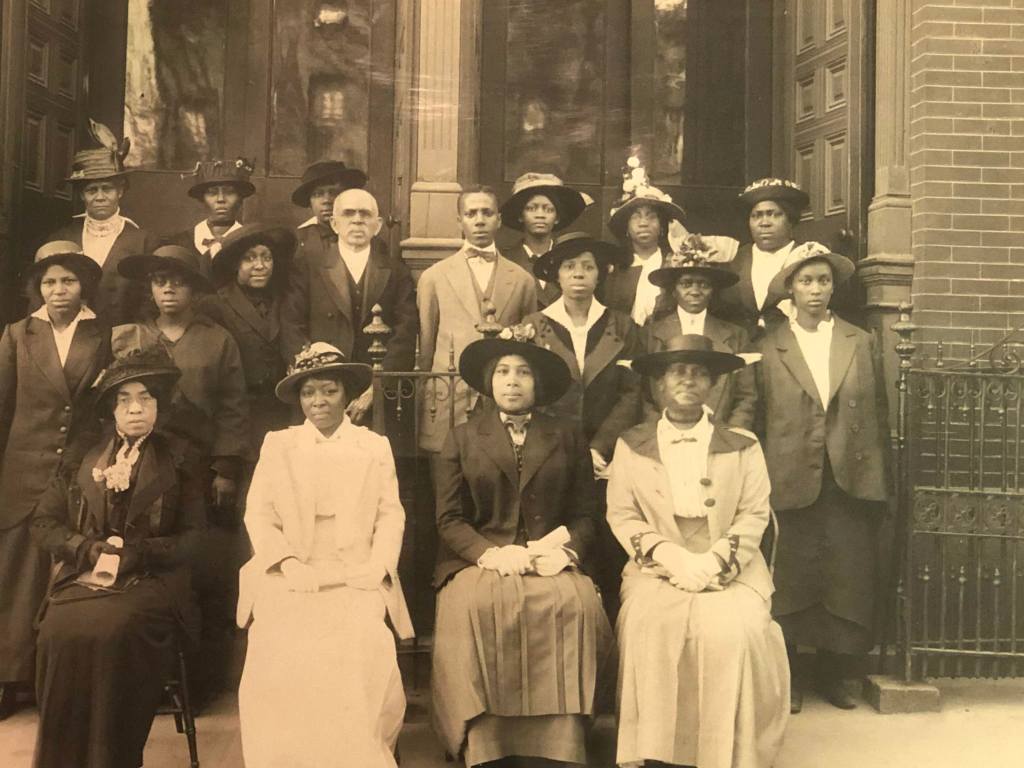
In November 2021, Metropolitan United Methodist Church celebrated its 196th anniversary. The pandemic disrupted the church’s original plan to celebrate a year prior. Despite the ongoing global pandemic, the church found a small window to safely gather and honor its nearly two-century history in Baltimore.
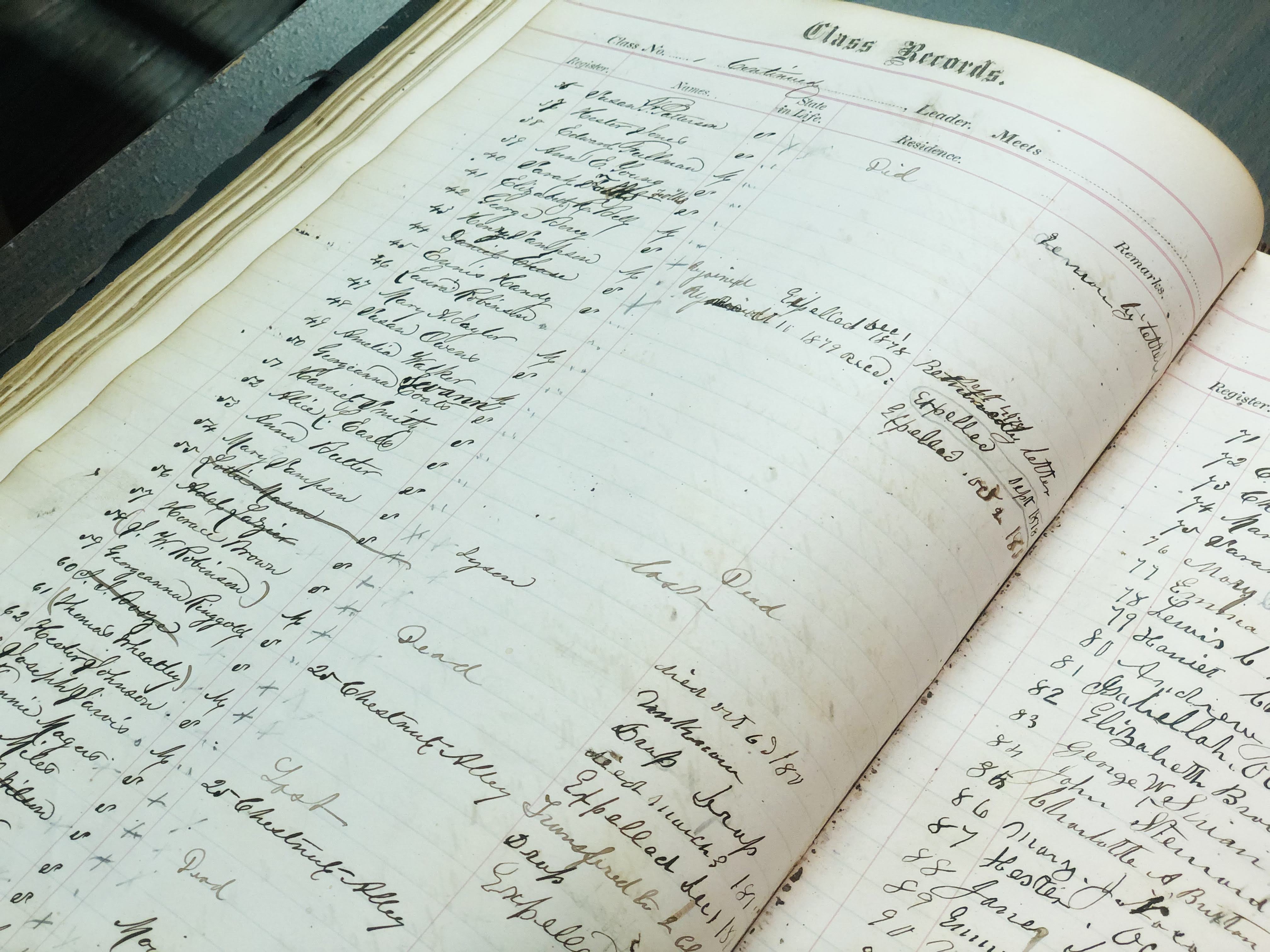
Through my work with the Billie Holiday Project for Liberation Arts, I joined a small committee of archivists, curators, and researchers with assisting local historic Black churches in preserving their history. I’m not sure how I met Sister Eleanor Brown. Yet, one afternoon I found myself meeting her and other members of Metropolitan’s Anniversary Committee members. Mrs. Eleanor shared a brief history of the church, provided a building tour, and walked me through archival materials. Years prior, the church invested in these massive wooden display cases. Over the years, members filled the cases with photos, booklets, and programs from the late nineteenth century to the present day. Chronologically, they revealed the church’s history.
As th
We initially met to draft plans for the church’s 195th anniversary. With such a historic milestone, Mrs. Eleanor and others wanted to honor this historic milestone. We spoke about the possibility of a documentary, about five to ten minutes in length; however, the pandemic disrupted any plans for a celebration. A year later, I reconnected with Mrs. Eleanor as the committee planned a celebration for the church’s 196th anniversary. Before the first “shutdown,” I collected some images from the archive. I also recorded b-roll footage from the church’s original and current location. With this footage, I presented the idea of a StoryMap.
StoryMap
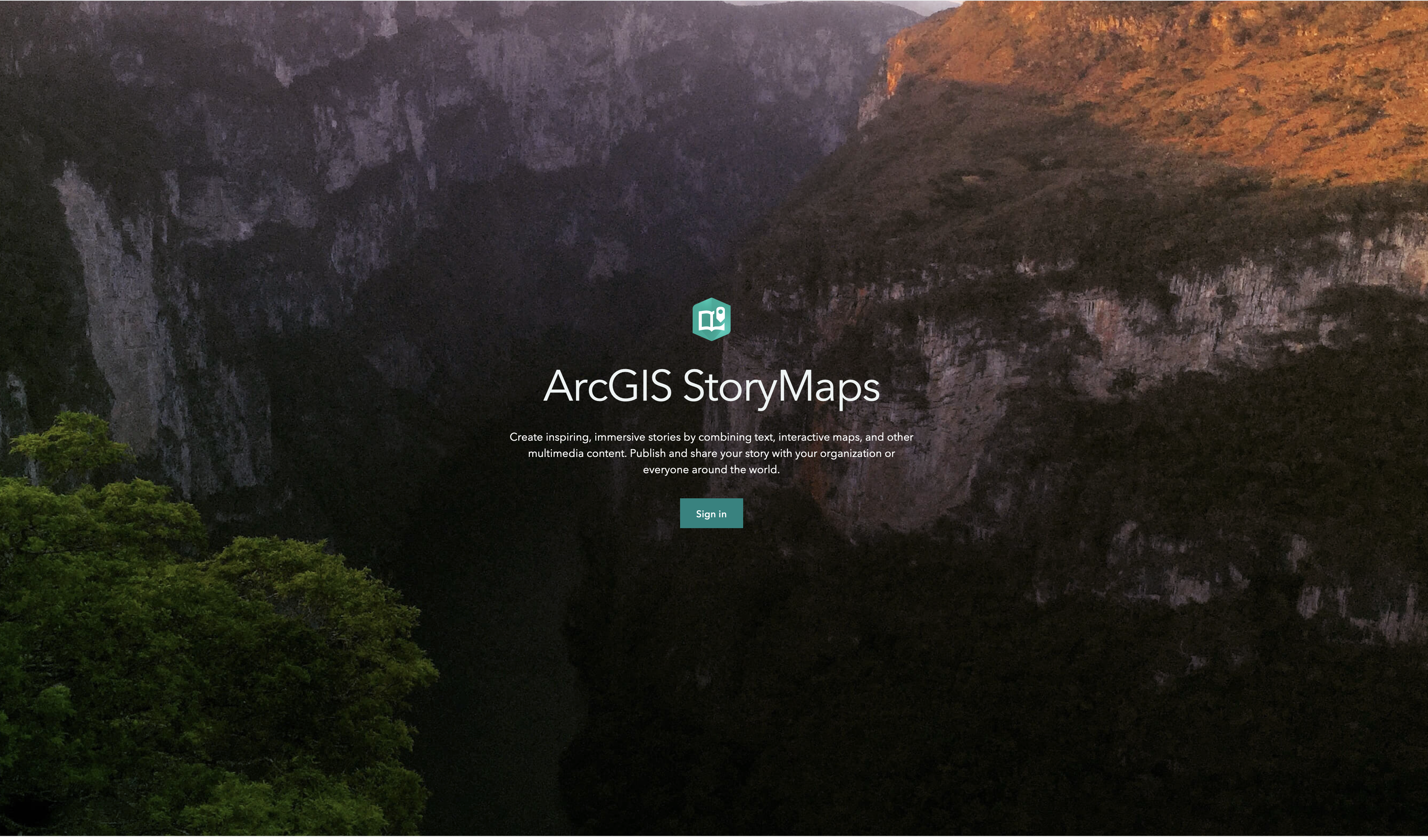
ArcGIS StoryMaps is an interactive, digital storytelling platform. It is accessible through a subscription with ArcGIS through your ArcGIS StoryMaps is an interactive, digital storytelling platform. It is accessible through a subscription with ArcGIS. If your university/institution has a subscription, you can log in through your organization for premium access. You can also create a free, basic account. Unfortunately, with the latter, you do not have full access to all of the platform’s features, such as the image gallery, audio, and beta features.

Why StoryMaps? This platform offered unique ways to retell Metropolitan’s history using sound, imagery, and videos. I was familiar with ArcGIS and had made a few StoryMaps in the past for courses, exhibitions, and other research projects. Through my university affiliation, it came at no cost. The link could be sent in a single e-mail or shared on the church’s website during the pandemic. There was also no cost associated with maintaining this StoryMap.
The committee and I worked collectively to complete the StoryMap. A lifelong member drafted the church’s history while I added multimedia elements. Phone calls, text messages, and a long e-mail thread replaced in-person meetings. I had to limit the number of images I added to the StoryMap as I received the following warning message on my browser: “This webpage is taking up a significant amount of memory.”
Looking to use StoryMap for your project? You begin your StoryMap in the same way you begin better: with an outline. Suppose you are familiar with the layout of WordPress/Google Site/SquareSpace. In that case, you’ll have no issue learning how to create and navigate this platform. An ‘add’/+ sign appears, which you click to add a component of the story.
You have the following buttons on the top dashboard: design, preview, and publish. ‘Design’ allows you to select a theme for your StoryMap (font/color/etc. all pre-curated by the platform) and add a logo. ‘Preview’ offers you the opportunity to view the StoryMap and how it displays across various devices. Lastly, ‘Publish’ is how you present your StoryMap. You can always make edits and take your StoryMap offline, even if you published the site.
Last fall, I finalized the site in preparation for Metropolitan’s 196th anniversary celebration. You can explore it below. There are some pros and cons to using ArcGIS StoryMap; however, it met the needs of the church for this particular event. The most beautiful additions to the StoryMap came from oral histories from two of the church’s eldest members, Sister Agnes Ray and Margaret Lowry. Last week, I was informed that Sister Lowry passed away, I am sharing her oral interview in honor of her life.

Leave a comment